Soil Map
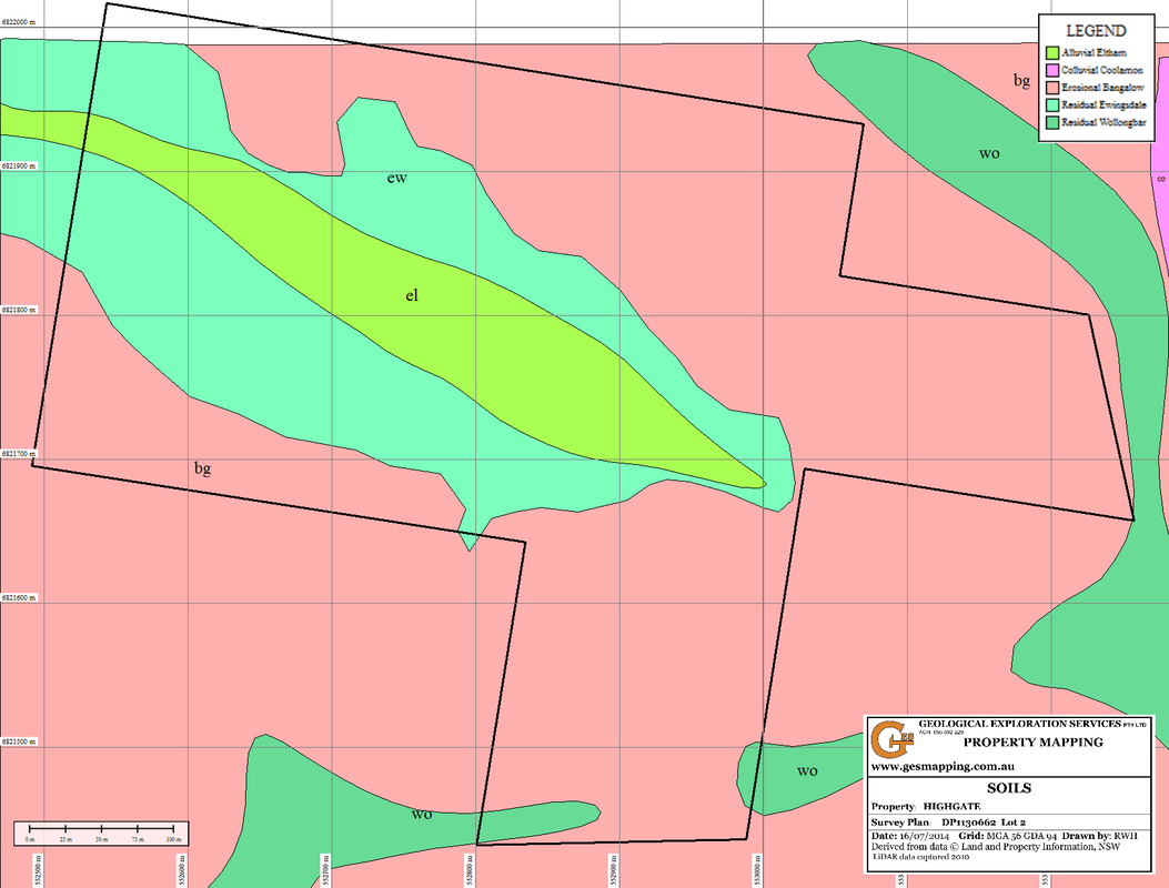
The distribution of soil types is related to climate, landscape and geology. Constraints to productivity of rural land is related to both landscapes and soil limitations. There is generally a variation in growth of plant cover that occurs on a property, even though the climate and the soil might not vary. The changes are due to changes in landscape that impact on how much water is available, the aspect for sunlight and warmth, and the effect of gravity on soil erosion.
The soil map defines ares of different soil types and is used in collecting representative soil samples for soil testing.